 |
 |
|
||||
|







|
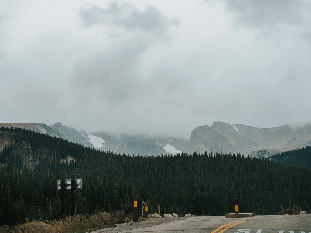 Top Travel Apps to Use at Denver International Airport (DEN)A trip through Denver can become more packed than expected in very little time. An afternoon might be spent along the 16th Street Mall and inside galleries in the Art District, followed the next morning by a drive two hours west to an 11,000-foot mountain pass where a trailhead sits just five minutes away. Colorado encourages travelers to move between very different experiences, which makes having the right tools on a phone especially useful when arriving at DEN. Whether the goal is securing a suitable vehicle, locating hiking trails, handling mountain roads, or deciding when changing weather makes it time to leave a summit, these apps can help travelers get more from a Colorado visit. 1. Turo: Select a Colorado Vehicle Around Your Travel PlansDriving conditions in Colorado often place greater demands on a rental vehicle than travelers encounter elsewhere, and Turo is the only car rental platform that allows guests to align a specific vehicle with their itinerary before departing the airport. Travelers can look through actual listings from individual hosts and reserve the exact car they want, including an AWD SUV for mountain routes, a capable Jeep Wrangler for forest tracks, a Tesla for efficient highway driving, or a luxury vehicle for a high-end weekend in Aspen. At DEN, Turo hosts arrange guest meetings at the Westin Hotel beside the terminal or within designated airport parking areas, helping travelers avoid a conventional rental counter. Before reserving, guests can review the exact vehicle along with its photographs, mileage, and verified feedback from previous travelers who may have used it on comparable Colorado roads. Protection plans are displayed during the booking process instead of being introduced later through a pressured counter upsell. Pricing is reliably competitive as well and is often significantly lower than rates from traditional rental operators at the same airport. In Colorado, where choosing the wrong vehicle can create a practical problem rather than a minor inconvenience, being able to verify the specific car beforehand can be particularly valuable. 2. RTD MyRide: Handle Denver Transit from a Single AppThe Regional Transportation District operates Denver's bus and light rail system, including service linking DEN with downtown Union Station, and RTD MyRide simplifies access to that network. Travelers can purchase mobile tickets, plan routes, view real-time arrival information, and manage digital passes through the app. This can be especially useful for visitors traveling from the airport to a downtown hotel who do not need a rental car during days spent entirely within the city. The University of Colorado A Line connects DEN directly with Union Station in approximately 37 minutes and departs every 15 minutes, while RTD MyRide provides a straightforward way to manage the ticketing portion of the journey. Visitors splitting their stay between Denver sightseeing and mountain driving can use public transportation for city days and reserve their vehicle use for the parts of the itinerary that require leaving the metro area. 3. iOverlander: Locate Dispersed Camping Across ColoradoColorado ranks among the country's premier destinations for dispersed camping, with extensive areas of National Forest land where camping is legal, free, and surrounded by striking scenery. iOverlander helps travelers locate these opportunities through user-submitted information covering free campsites, trailheads, and water sources throughout Colorado and beyond. For travelers pairing a Denver stay with a road trip through the San Juan Mountains, the Collegiate Peaks, or along the Million Dollar Highway, the app can identify overnight locations that are not listed on conventional hotel booking sites. New information requires cell coverage to load, so downloading the appropriate Colorado regions before departing the city is strongly recommended. 4. Mountain Forecast: Get Weather Details for Higher ElevationsWeather in Colorado's mountains does not always follow the conditions seen at lower elevations, and overlooking that difference can cause problems for visitors. A morning that starts clear can develop into afternoon thunderstorms, summit weather may vary substantially from conditions at a trailhead, and winter conditions can arrive quickly and forcefully at elevation even during shoulder months. Mountain Forecast, which also appears as Mountain-Forecast.com in app form, offers forecasts tied to specific elevations rather than the broader location information provided by standard weather apps. While a typical forecast may describe conditions in the nearest valley town, Mountain Forecast reports on the elevation a traveler is actually planning to reach. That makes it useful for anyone preparing for a summit hike, ski day, or mountain drive and looking for information that reduces weather-related guesswork. 5. Yelp: Research Denver Restaurants While Exploring the CityDenver's dining landscape has grown considerably in recent years, giving the city a restaurant scene comparable with those of much larger metropolitan areas. Neighborhoods including RiNo, Larimer Square, South Broadway, and LoHi all offer restaurants worth seeking out, and Yelp continues to provide travelers with a practical way to find them while on the move. Reviews from diners, updated business hours, estimated wait times, and direct reservation or waitlist links can make the app more immediately useful than depending solely on a restaurant guide prepared before the trip. Travelers looking beyond hotel restaurants and airport chains can apply location filters for the Denver neighborhoods they are visiting to identify dining options for the evening. 6. AllTrails: Bring Colorado's Trail Network Along on Your PhoneMore than 26,000 miles of trails stretch across Colorado, and AllTrails organizes the information needed to make navigating that network more manageable. The app combines detailed maps, elevation profiles, difficulty ratings, recent condition updates from hikers, and downloadable offline maps for places without dependable cell service. Those features are useful for both casual walkers and experienced backcountry hikers. Visitors traveling from Denver toward Rocky Mountain National Park, the Maroon Bells near Aspen, or trails above Boulder can use AllTrails to compare hikes based on their available time and ability level while also following the route more safely. Offline mapping is especially important in Colorado because mobile reception can be inconsistent along mountain trails. Common Questions About Planning a DEN Trip with Travel AppsIs it better to install these apps before flying to DEN, or can travelers wait until they arrive?Travel arrangements that rely on advance reservations are generally easier to handle before departure. Turo vehicles at DEN, especially AWD and 4WD options, can fill quickly during ski season and busy summer weekends, making it worthwhile to reserve a car before flying. The latest AllTrails condition reports are most useful when reviewed the evening before a hike, while mountain forecasts should be checked each morning before an outdoor activity. Transit and dining arrangements can be handled after arrival, although installing RTD MyRide and planning the airport route ahead of time can make the first hour in an unfamiliar city more efficient. Can travelers rely on public transportation in Denver, or is a car required?Denver's transit system provides effective coverage for the airport connection, city center, and several important neighborhoods. Visitors concentrating on downtown, RiNo, Capitol Hill, and LoDo can generally travel comfortably using buses and trains. Once an itinerary extends into the mountains, Rocky Mountain National Park, ski resorts, or Colorado's scenic driving routes, however, a vehicle becomes necessary. There is no meaningful public transit option between Denver and Vail, Breckenridge, or Estes Park that fits a traveler's schedule. Visitors combining city sightseeing with mountain excursions commonly use the train for airport transportation and city days, then have access to a car whenever they travel outside the metro area. What should someone driving Colorado mountain roads for the first time understand?Colorado's mountain roads offer impressive scenery but can also become challenging when conditions change. First-time visitors regularly underestimate how rapidly weather can shift at altitude, what it is like to navigate switchbacks at elevation, and how winter road conditions may continue well into spring on high passes. Certain Colorado roads require chains or snow tires during winter, and those rules are enforced. Checking the Colorado Department of Transportation app or website for closures and road conditions before a mountain drive is routine practice among experienced Colorado drivers. Turo's option to verify a specific vehicle's drivetrain and winter capability before booking can also be useful for travelers preparing mountain-focused itineraries. Which Denver area makes the most practical home base for a visitor?Lower Downtown, commonly referred to as LoDo, together with the nearby Union Station neighborhood, provides walkable access to major parts of central Denver, including Coors Field, the Confluence Park area, strong dining options, and the transit hub connecting the city with both the airport and surrounding neighborhoods. RiNo, or the River North Art District, places greater emphasis on food and creative spaces, with a denser collection of independent restaurants, breweries, and galleries than any other part of the city. Capitol Hill works well for travelers interested in Denver's arts institutions, including the Denver Art Museum and the Denver Center for the Performing Arts. Because all three neighborhoods are transit-connected and walkable within their own boundaries, the choice largely depends on which aspect of Denver a visitor most wants to experience. |
|





|
©2009, Minneapolis Regional Chamber Development Foundation |